
Monteliusvägen
Clifftop path above Riddarfjärden
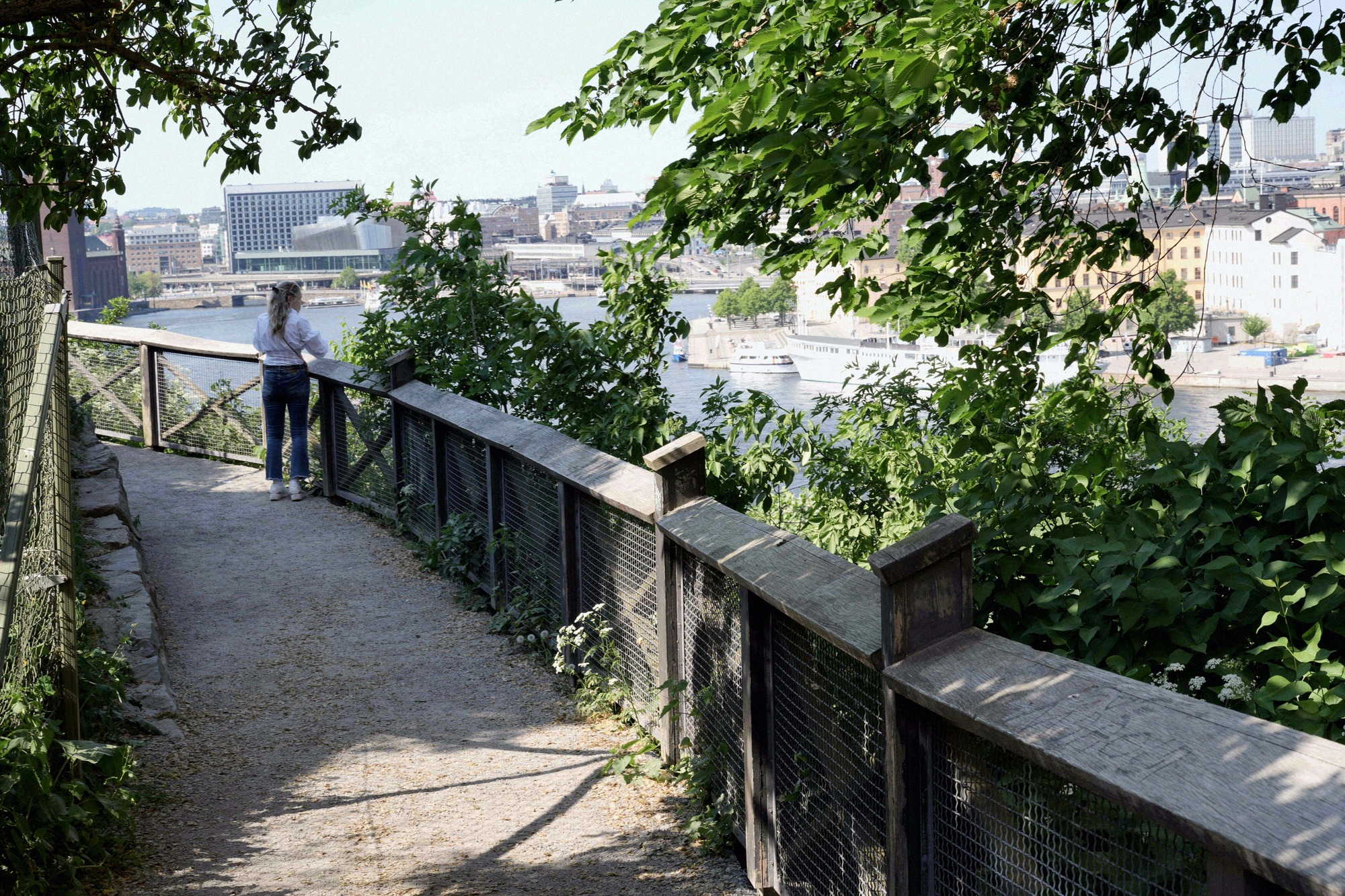
Monteliusvägen is a 416-metre clifftop path on Mariaberget in Södermalm, with terraces, benches and the classic view across Riddarfjärden to Riddarholmen and the City Hall.
Contents
A balcony above the city
Monteliusvägen is a 416-metre footpath along the northern slope of Mariaberget in Södermalm. It runs at half height between the houses on the hill and the waterfront street Söder Mälarstrand, without actually leading anywhere: the path is the point. This is where the picture on most Stockholm postcards comes from.
Unlike the open rock ridge of Skinnarviksberget further west, Monteliusvägen is contained and deliberately laid out. The path is unsurfaced and widens at several points into small terraces with benches. Sit down and you are at eye level with the towers of the old town.
Route and access points
In the west the path begins at Kattgränd by Öbergska gården; in the east it ends at Bastugatan 16, level with the Cederborgska villa. Between the two lie two small parks, Ivar Los park and Olle Adolphsons park, which open the path out to the south.
The four practical ways on:
- Bastugatan (east): the easiest. From Mariatorget metro station head west along Bastugatan; the path starts on the level, with no steps.
- Torkel Knutssonsgatan (west): down steps and lanes to Kattgränd.
- Söder Mälarstrand (below): steep steps straight up from the water, the shortest but most strenuous approach.
- Ivar Los park (south): from Bastugatan through the park onto the middle terrace.
The path is narrow. Where two groups have to pass, it gets tight, and on summer evenings the terraces are occupied. If you want the view to yourself, come in the morning - though the sun will then be in the wrong place.
What you see, and when
The view runs north across Riddarfjärden. In the middle lies Riddarholmen with the cast-iron spire of Riddarholmen Church, to its right the old town of Gamla Stan, and to the left, across the water, the brick tower of Stockholm City Hall on Kungsholmen. In clear air the view reaches west as far as the bridges over Lake Mälaren.
For photographs, late afternoon to evening is the time: the sun then stands in the west and lights the far shore head on, while the path itself is already in the shadow of the hill. In the morning you are shooting into the light. In winter, with the sun low, the hour around midday works well too, and the path is almost empty.
The man behind the name
The path is named after Oscar Montelius, the archaeologist and prehistorian who established the chronology of the Nordic Bronze Age and was elected to the Swedish Academy in 1917. He lived and died in the Monteliushuset on Södermalm, immediately above today's path.
The path itself is young: the development plan for the slope became legally binding in 1977, but the promenade was not laid out and opened until August 1998. Something that now feels like a self-evident part of the city has in fact existed for barely a quarter of a century.
Combining it with Mariaberget and Skinnarviksberget
Monteliusvägen is too short for an outing of its own, but it is the centrepiece of a fine walk. The obvious loop: from Mariatorget through the quiet lanes of Mariaberget, with their 18th-century houses, to Bastugatan, along the clifftop path westwards, then via Torkel Knutssonsgatan on to Skinnarviksberget. The two viewpoints are about ten minutes apart; together they make the evening Södermalm is known for.
Head east instead and you reach the Katarinahissen lift by Slussen and, beyond it, Fjällgatan, which looks in an entirely different direction, across the harbour to Djurgården. Downhill, the path leads straight onto the Söder Mälarstrand waterfront and from there into Gamla Stan in a few minutes.
Frequently asked questions
How long is Monteliusvägen? +
What does a visit cost? +
How do you get onto the path? +
When is the light best? +
Is the path accessible? +
Nearby
Riddarholmen Church
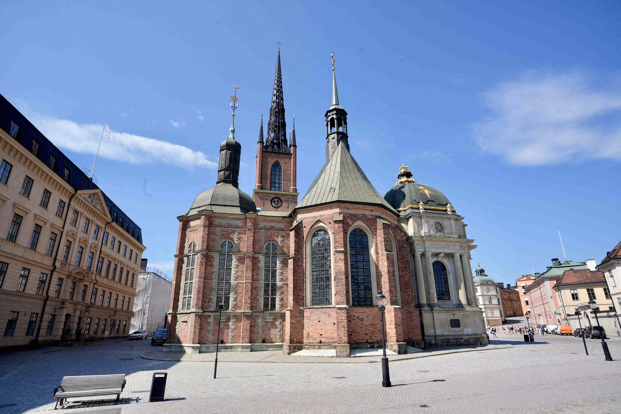
Medieval monastery church on the quiet island of Riddarholmen, burial place of nearly all Swedish monarchs and a cast-iron spire that marks the city skyline.
Skinnarviksberget
Skinnarviksberget, in Skinnarviksparken on Södermalm, is at 53 metres the highest natural point in central Stockholm and the city's favourite spot for sunset.
Stadsmuseet
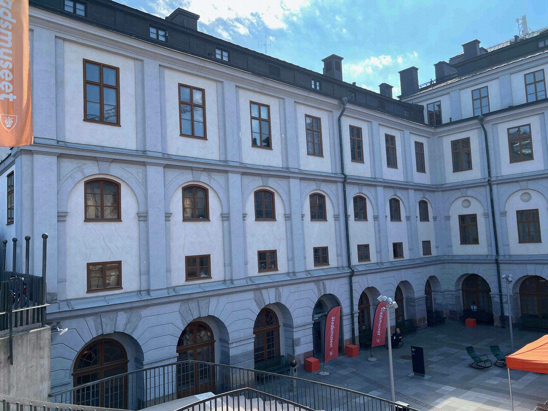
The Stadsmuseet (Stockholm City Museum), in a 1685 Baroque building at Slussen on Södermalm, tells the city's history through a collection of over 300,000 objects.
Riddarhuset
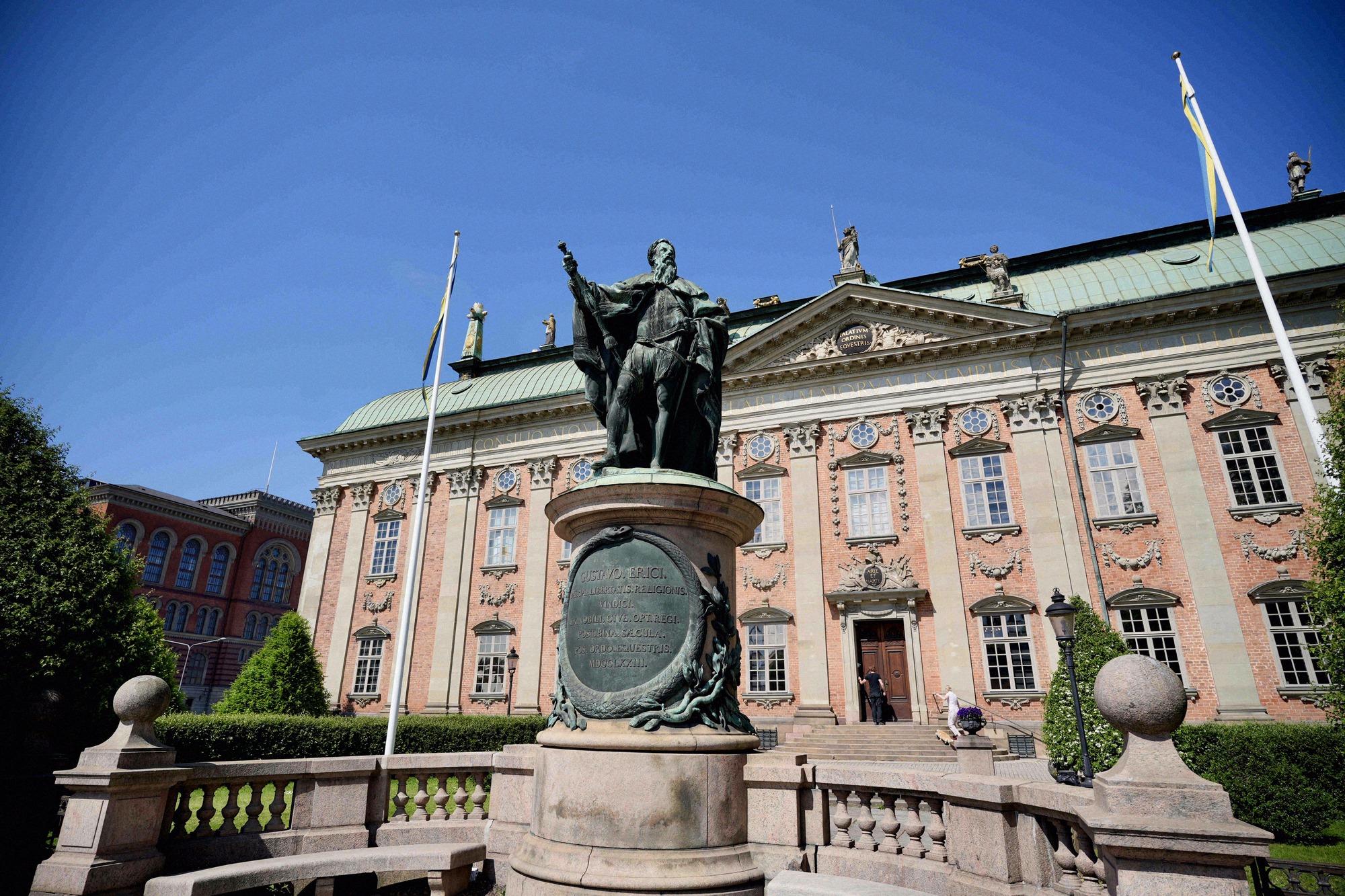
Baroque palace from 1660 on Riddarhustorget with a pink facade and a hall lined with around 2,300 noble coats of arms. Open weekdays for a short midday window only.
Katarinahissen
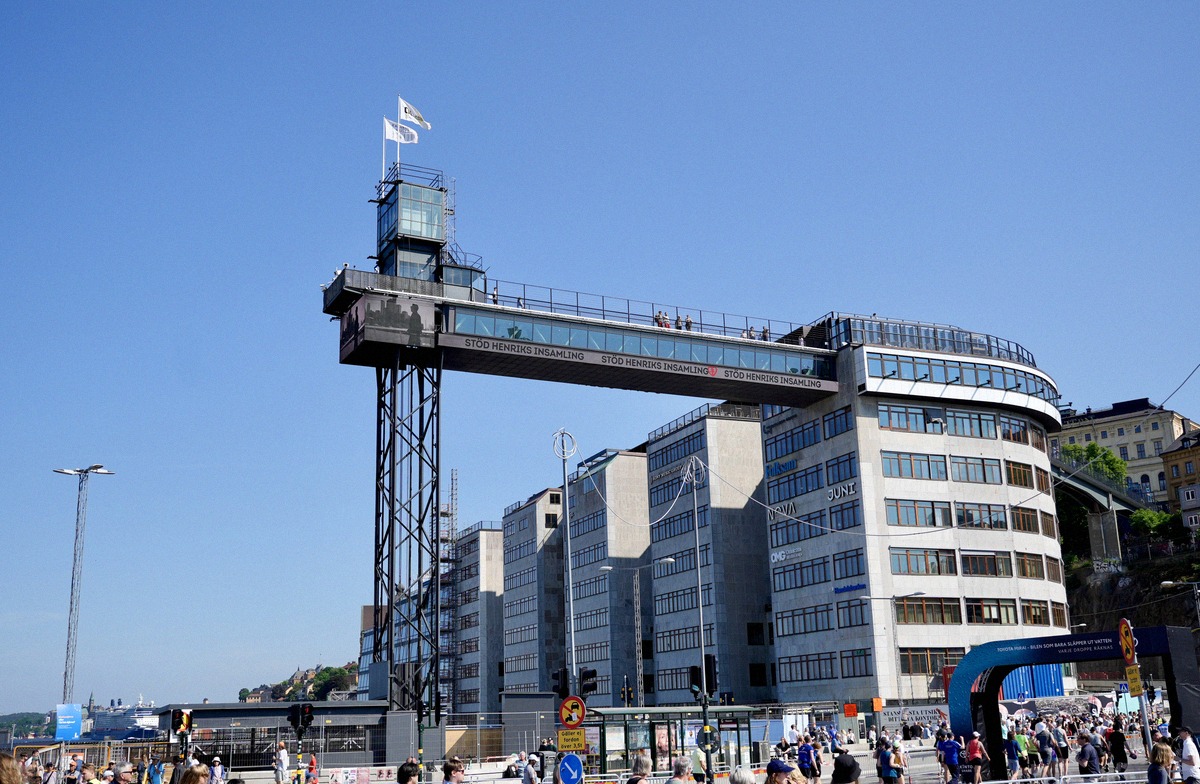
A steel lift from Slussen up to a hilltop walkway over Södermalm, with panoramic views over Gamla Stan, the harbour and the water. Ride and view are free.
Mårten Trotzigs gränd
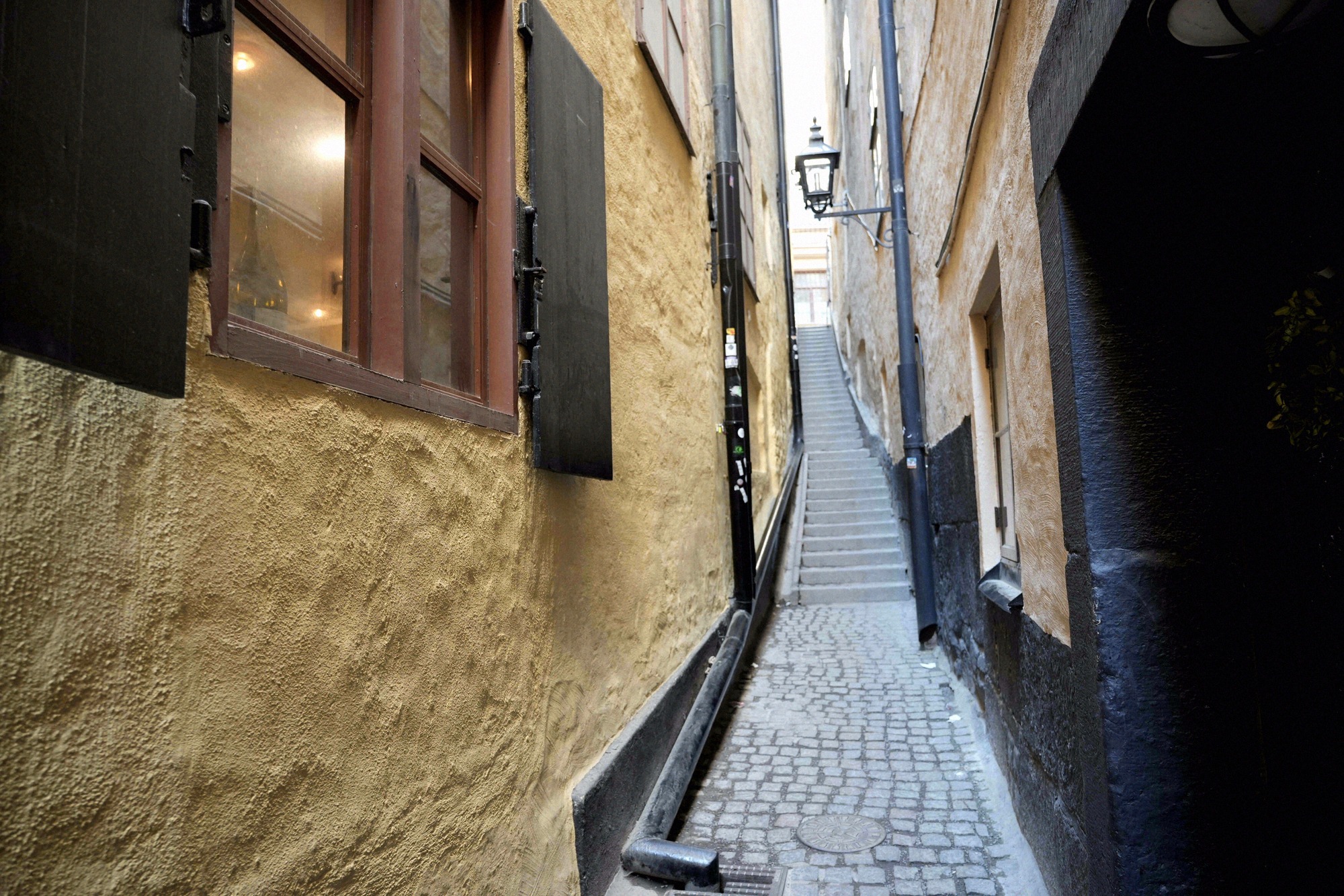
Mårten Trotzigs gränd in Gamla Stan measures 90 centimetres at its narrowest point, making it Stockholm's narrowest alley, a stepped lane of 36 steps.