
Skinnarviksberget
Highest natural point in central Stockholm
Skinnarviksberget, in Skinnarviksparken on Södermalm, is at 53 metres the highest natural point in central Stockholm and the city's favourite spot for sunset.
Contents
The highest rock in the inner city
Skinnarviksberget is a bare granite ridge in the west of Södermalm and, at 53 metres above sea level, the highest natural point in central Stockholm. It belongs to the public Skinnarviksparken, which means it is neither a viewing tower nor a museum but simply a piece of rock that you walk up.
That is precisely the appeal. The top is a broad, largely level slab where dozens of people can sit without getting in each other's way. There are no railings, no made paths and no benches up there; if you sit down, you sit on the stone. It counts as the highest point only within the historic customs boundary - Henriksdalsberget to the east is higher at 57 metres, but lies outside it.
The view
The view runs north and north-west across Riddarfjärden, the easternmost arm of Lake Mälaren: opposite lies Kungsholmen with the tower of Stockholm City Hall, to the right Riddarholmen with the cast-iron spire of Riddarholmen Church, and behind it the old town of Gamla Stan. Away to the left stands the dome of Högalidskyrkan above Hornstull.
Because the rock is open and nothing is built in front of it, the view to the north-west is unobstructed - which happens to be exactly where the sun sets in the summer half of the year. That explains the part the hill plays in Stockholm life: on warm evenings, groups sit here with a blanket, bread and a flask long after sunset. At midsummer it does not get dark until around 22:00.
Getting up there
The easiest route starts at Zinkensdamm metro station (green line). From there, follow Lundagatan into Skinnarviksparken and climb from its eastern end on worn paths across the rock slabs. From the waterfront street Söder Mälarstrand a shorter but considerably steeper route leads up steps; if you are coming from Monteliusvägen, carry on west and join the hill from above. The second-nearest station is Mariatorget.
The summit is not accessible. The last stretch crosses bare, uneven rock with no made path; a wheelchair or pushchair will get you into the park but not up onto the crown. The lower part of the park, with its lawns, seating and the Ballongparken playground, is easy to reach.
Safety and footing
The ground is smooth, glacially polished granite that turns slippery in rain, frost and wet leaves; sturdy shoes are not an overstatement. Towards the water the rock breaks away steeply, there are no railings and no lighting either. If you are heading down after dark, take the path through the park rather than the short cut over the rock edges. With small children, keep away from the drop.
On summer evenings the hill is a meeting place, and it can get crowded and loud. The city has responded with an alcohol ban at night between 00:00 and 07:00. If you prefer it quiet, come in the morning or outside the summer months.
Skinnarviksberget, Monteliusvägen or Fjällgatan
Södermalm has three well-known viewpoints, and they are not interchangeable.
- Skinnarviksberget is the wildest and highest of the three: open rock, plenty of room, the widest view across Riddarfjärden, but no made path and no railing. The place for a long summer evening.
- Monteliusvägen lies a good half-kilometre to the east and is the opposite: a narrow, level clifftop path with benches and terraces, walked in a few minutes, closer to Gamla Stan and distinctly cramped when busy.
- Fjällgatan sits in the east of the island and looks in another direction altogether: across the harbour to Djurgården and the entrance to the archipelago, lined with 18th-century wooden houses.
If you have time, string Skinnarviksberget and Monteliusvägen together into one walk; the two are about ten minutes apart along the slope.
Name and history
The name goes back to the tanners who settled on the bay below the hill in the 17th century: "skinnare" means furrier or tanner. The bay Skinnarviken is recorded in 1646, and a "Skinnarewicks-gatun" appears in a property register in 1658. The trade smelled so badly that it was moved out of the city - Södermalm was then a suburb, not a fashionable district.
The slope later belonged to the 18th-century estate of Kristinehovs malmgård. The grounds were laid out as a park in the 1910s and 1920s, expressly with the aim of leaving the rock in its natural state as far as possible. Nothing has changed about that since, and it is the real appeal of the place.
Frequently asked questions
How high is Skinnarviksberget? +
How do you get up there? +
What does a visit cost? +
What can you see from the top? +
Is the viewpoint safe? +
Nearby
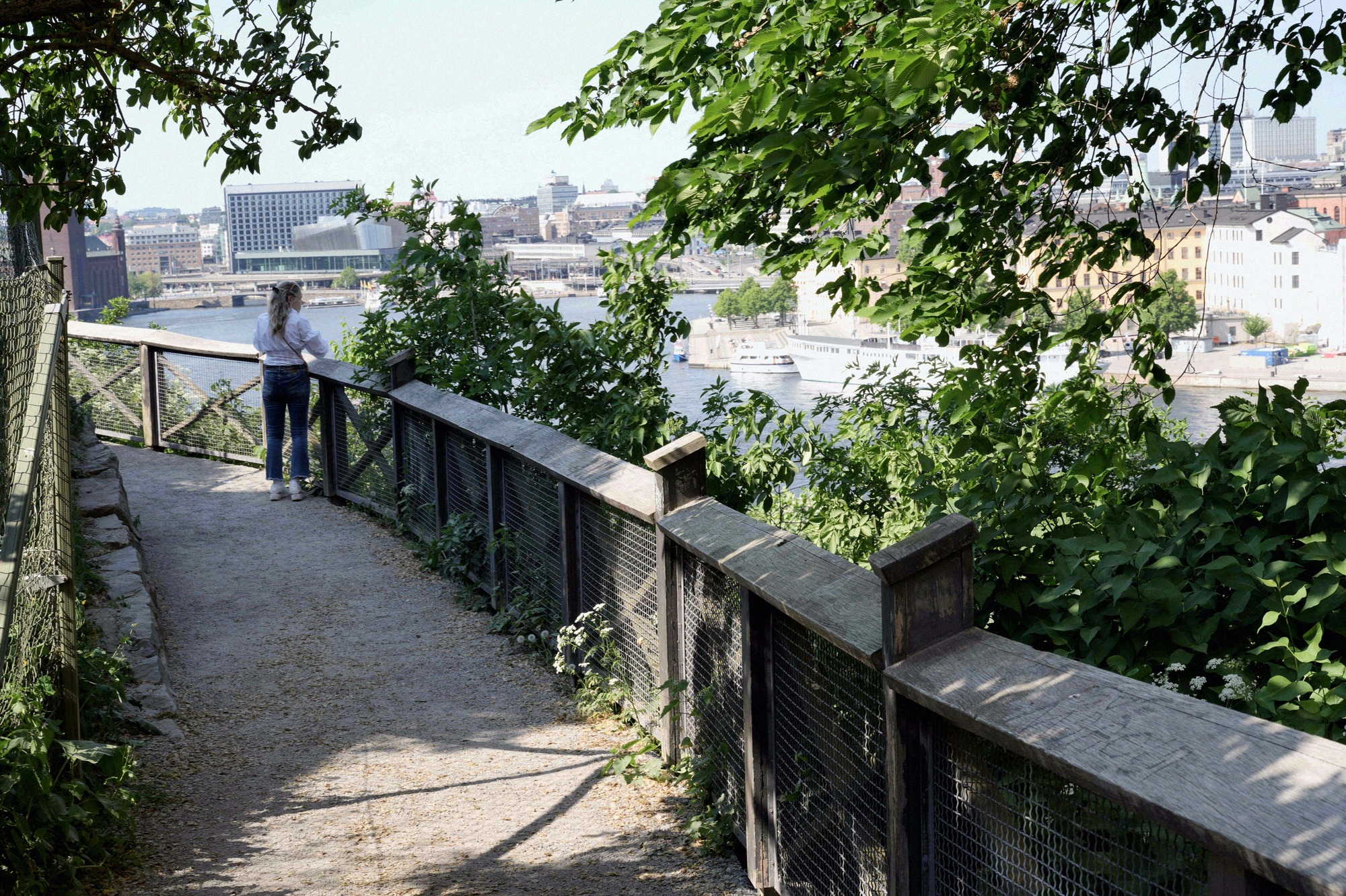
Monteliusvägen
Monteliusvägen is a 416-metre clifftop path on Mariaberget in Södermalm, with terraces, benches and the classic view across Riddarfjärden to Riddarholmen and the City Hall.
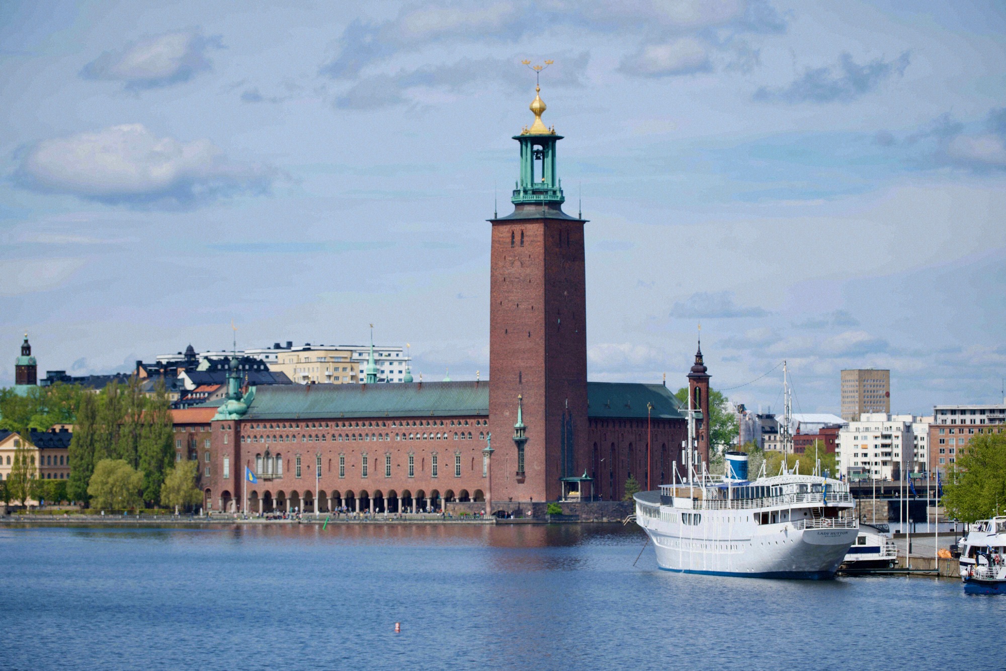
Stockholm City Hall
The waterfront brick town hall on Kungsholmen, in Swedish Stockholms stadshus: setting for the Nobel Banquet, interior by guided tour only, with a tower climb in summer.
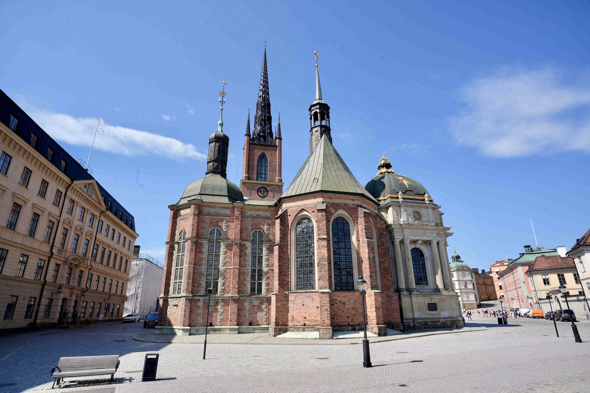
Riddarholmen Church
Medieval monastery church on the quiet island of Riddarholmen, burial place of nearly all Swedish monarchs and a cast-iron spire that marks the city skyline.
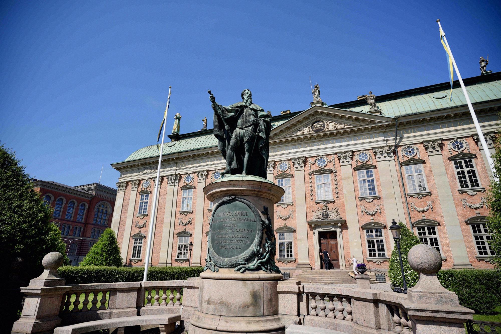
Riddarhuset
Baroque palace from 1660 on Riddarhustorget with a pink facade and a hall lined with around 2,300 noble coats of arms. Open weekdays for a short midday window only.
Stadsmuseet
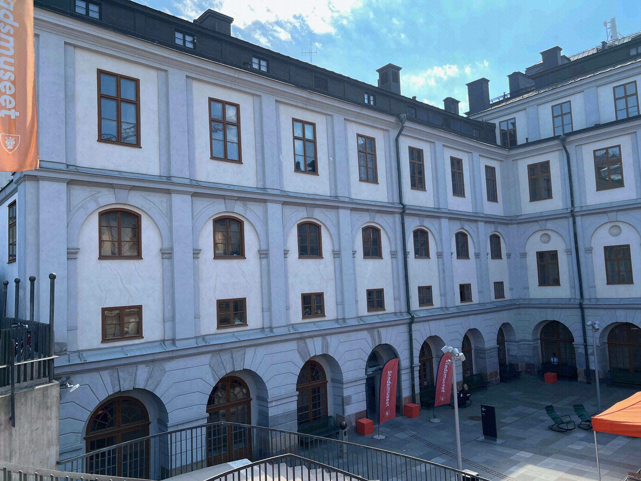
The Stadsmuseet (Stockholm City Museum), in a 1685 Baroque building at Slussen on Södermalm, tells the city's history through a collection of over 300,000 objects.
Katarinahissen
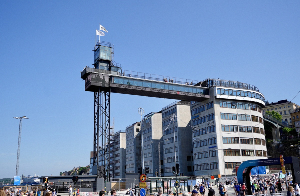
A steel lift from Slussen up to a hilltop walkway over Södermalm, with panoramic views over Gamla Stan, the harbour and the water. Ride and view are free.